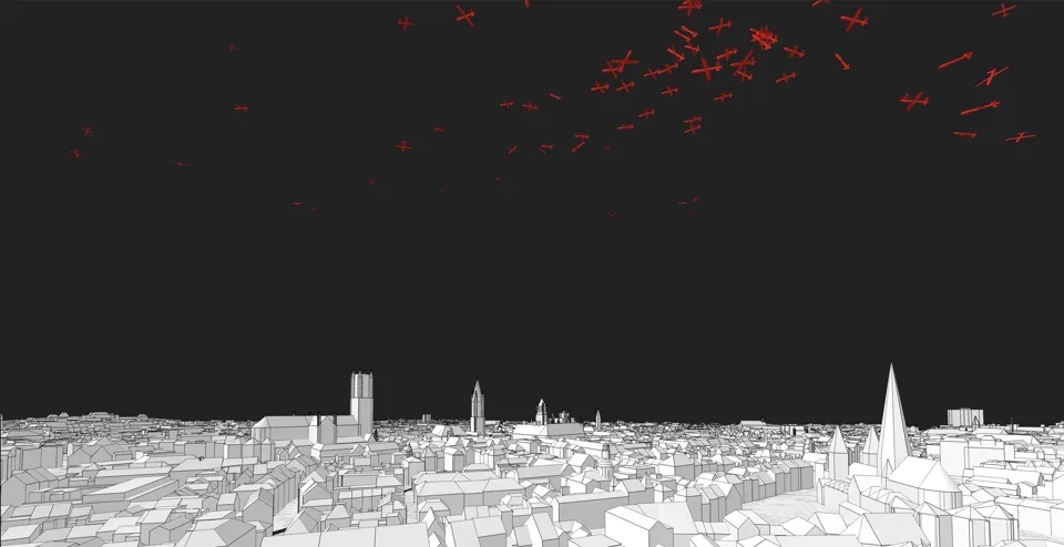
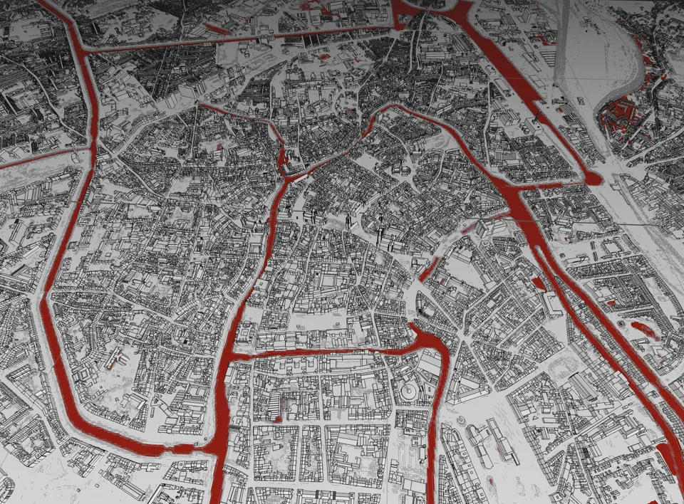
Fly Over Gent
Free-flight through all of Ghent using official municipal 3D data. Explore 150+ tiles of the city with WASD controls.
WASD free-flight controls
Dynamic tile loading 150+ city tiles
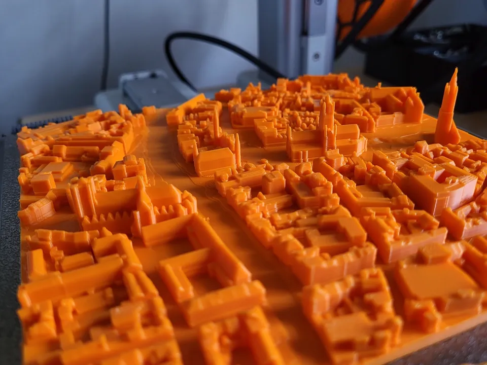
Python pipeline DWG→DXF→STL preprocessing
3-tier tile caching Service Worker → memory → scene
Direction-aware loading only fetches tiles the camera faces
Live minimap color-coded tile readiness
Built with Three.js. Python preprocessing with ODA File Converter, ezdxf, and trimesh. Lambert-72 coordinates.